Offline Flight Tracker · Android
Skypane
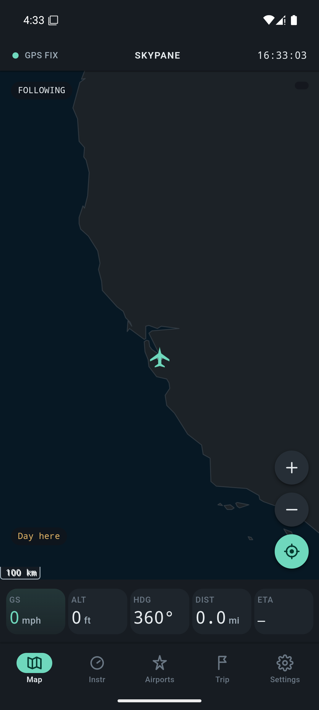
Fully offline. Works with airplane mode on. See exactly what you're flying over — no signal required, ever.
Scroll ↓
Fully offline. Works with airplane mode on. See exactly what you're flying over — no signal required, ever.
The entire map, every instrument, and every label is computed locally from GPS and sensors — nothing is fetched, ever.
Mountains, lakes, rivers, oceans, cities, airports, and borders — a full vector basemap bundled in the app, zero network requests.
Live camera view that labels the real mountains, lakes, and cities passing beneath the plane, in real time.
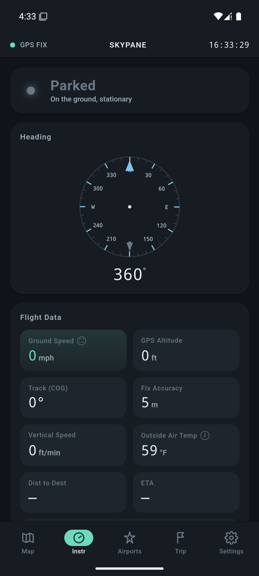
Ground speed, altitude, heading, and compass — a live instrument panel driven entirely by your phone's own sensors.
Know exactly which side of the aircraft the sun is on, so you always pick the right window for the view.
Record your full flight path in the background and export it as a standard GPX file to keep or share afterward.
Turn your route into a shareable postcard-style image — a clean souvenir of exactly where you flew.
Real screens from the app. No network calls behind any of them.
Airplane wifi is expensive or unavailable, so Skypane was built to need none of it. That's not a promise in a privacy policy — it's a permission the app never asks the operating system for.
Launch Skypane before takeoff. It works exactly the same with airplane mode on — nothing changes.
Browse the offline map, glance at your flight instruments, or point the camera out the window for AR landmark labels.
Landmark labels, flight instruments, sun position, and your tracked route, all updating in real time, fully offline.